position · LTE Cat 1
LTESpeed 58 km/hEngine ON
01 · Live tracking · GNSS + LTE
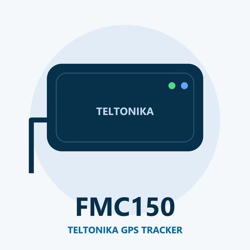
Teltonika FMC150 GPS tracker on the live map
The FMC150 uses GPS, GLONASS, Galileo and BeiDou satellites to find where it is. It sends each point over 4G. Where 4G is weak, it moves to 2G. If both are gone, records wait in its 128 MB memory and go out once the signal is back. Fleet Scanner then fills in the trip with no holes.
24 Speed239 Ignition240 Movement16 Odometer199 Trip distance
GPS fleet tracking software →