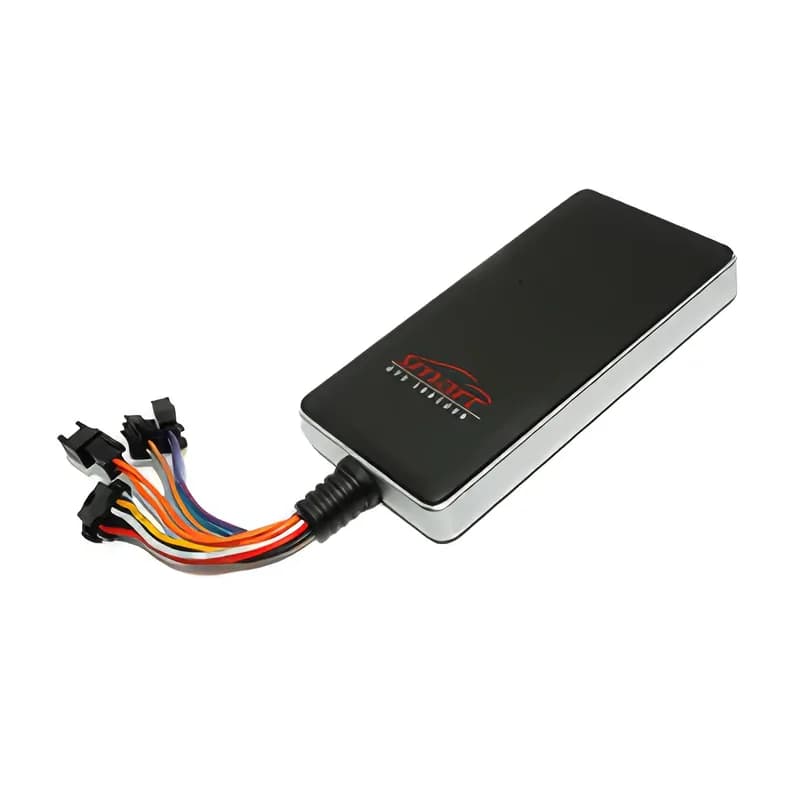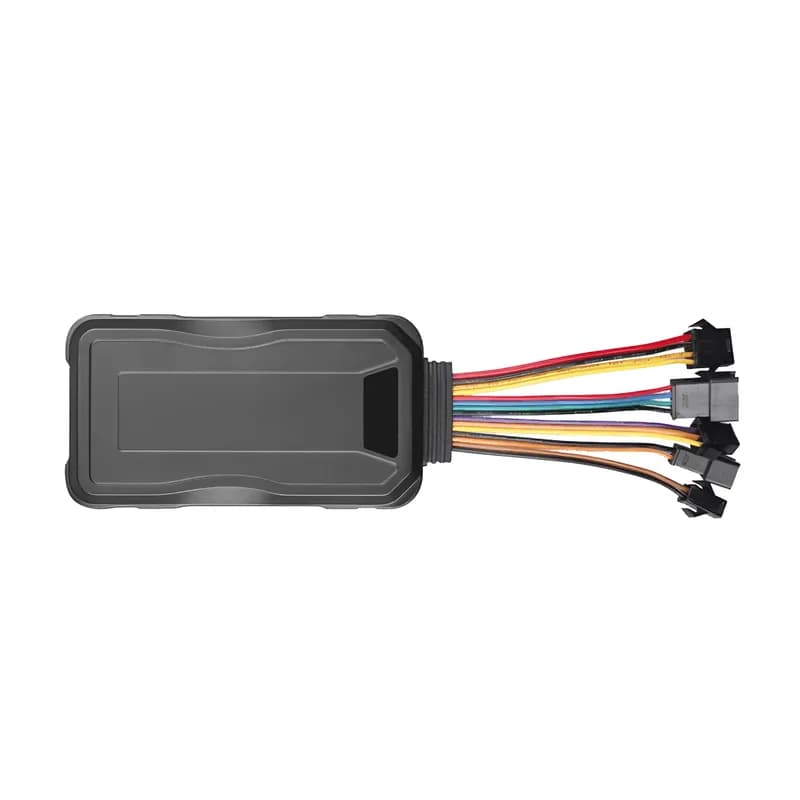
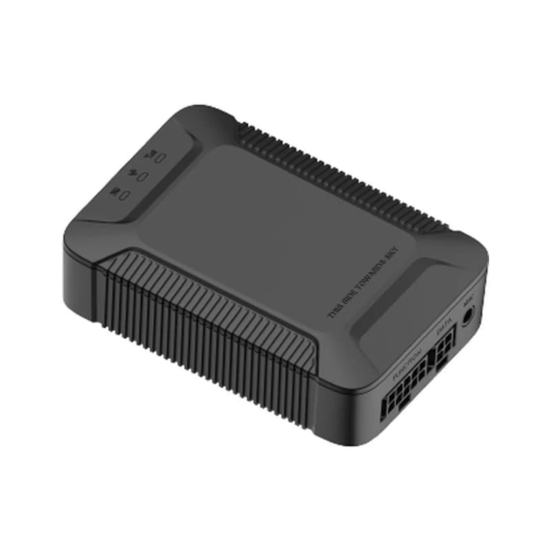
location · 0x12 / 0x22
Speed 38 km/hGPS FIXED
01 · Live tracking · GPS + BDS + LBS
Live position by time or by distance
The X3 finds itself with GPS and BeiDou (BDS) satellites. When it cannot see the sky, it uses the nearest cell towers (LBS) instead. You choose how often it reports. One timer is for when the ignition is on and one for when it is off. You can also make it report every set number of meters. Fleet Scanner draws each point on the live map and keeps the route for playback.
0x12 / 0x22 GT06 location packet TIMER,T1,T2# DISTANCE,D# Speed Course
Live vehicle tracking →